Baja California
Desert meets ocean in Mexico's wild western peninsula
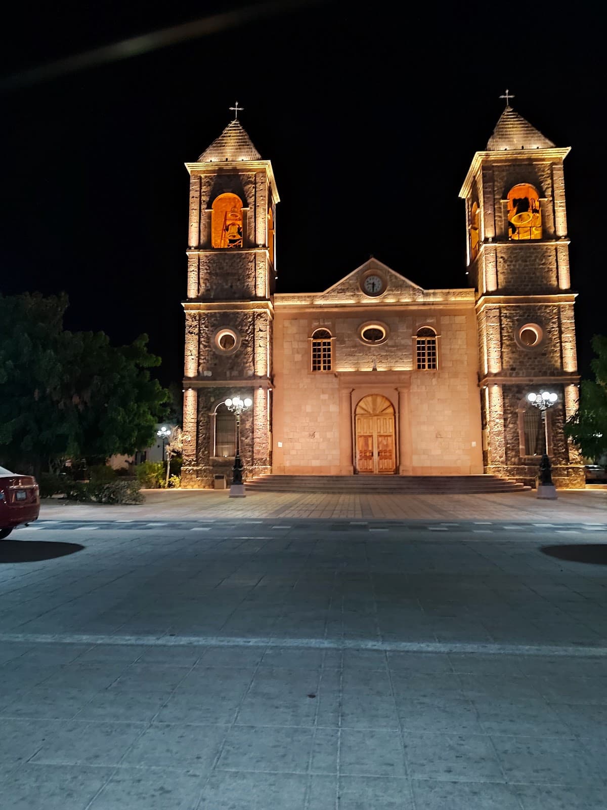
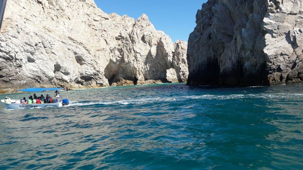
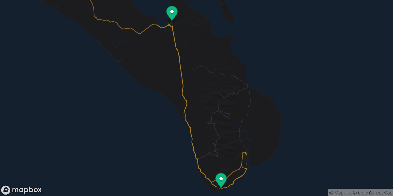
Baja California stretches like a sun-baked finger into the Pacific, where massive cardón cacti stand guard over empty beaches and gray whales cruise past your kayak. This isn't the Mexico of resort brochures. Here, you'll find yourself alone on a beach in Bahía de los Ángeles watching pelicans dive-bomb for fish, or sipping Valle de Guadalupe wine while desert winds carry the scent of sage. The peninsula runs 775 miles from Tijuana to Cabo, but the real magic happens in between - in fishing villages where locals still pull their pangas up on the sand and mountain towns where the only sound is your own breathing.
Explore the Region


Money-Saving Tips
- 1.Bring cash - many small towns don't accept cards, and ATMs are scarce outside major cities
- 2.Gas costs 30% more than mainland Mexico due to transportation costs
- 3.Wine tastings in Valle de Guadalupe run $15-30 USD, but many include food pairings
- 4.Camping on beaches is often free and legal - just ask locals about safe spots
- 5.Fish tacos cost $1-3 each at street stands, $8-12 at restaurants
- 6.Ferry from mainland Mexico to La Paz costs around $50 for passengers, $200+ for cars
Travel Tips
- •Download offline maps - cell service disappears for hours on Highway 1
- •Pack layers - desert nights get surprisingly cold even in summer
- •Carry extra water and snacks - services can be 100+ miles apart
- •Learn basic Spanish - English isn't widely spoken outside tourist areas
- •Respect marine protected areas - fines for illegal fishing or collecting are steep
- •Book whale watching tours in advance during peak season (January-March)
- •Get comprehensive car insurance if driving - roadside assistance is limited
- •Bring reef-safe sunscreen - many marine areas ban chemical sunscreens
Frequently Asked Questions
Explore Baja California
Ready to explore Baja California?
Get a personalized itinerary in seconds with Takeoff.
Free on iOS. No credit card required.